Santiniketan Institute of Polytechnic
শান্তিনিকেতন ইনস্টিটিউট অফ পলিটেকনিক
পশ্চিমবঙ্গ রাজ্য কারিগরী ও বৃত্তিমূলক শিক্ষা এবং দক্ষতা উন্নয়ন সংসদ (কারিগরী শিক্ষা বিভাগ) থেকে অধিভুক্তি

Santiniketan institute of polytechnic
approved by AICTE & Affiliated with WBSCT & VE & SD
AN iso certified 9001:2015 Institute
Menu


Build & Design
Slide Background
Build & Design
Build & Design
Build & Design


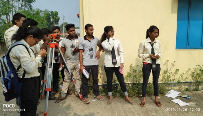
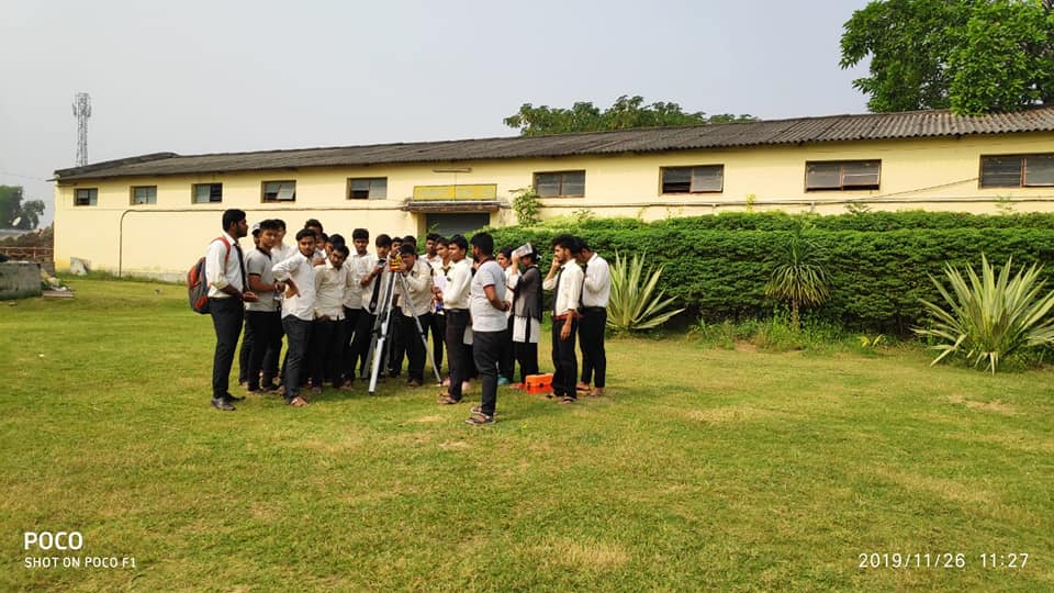
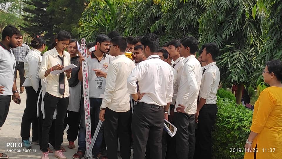
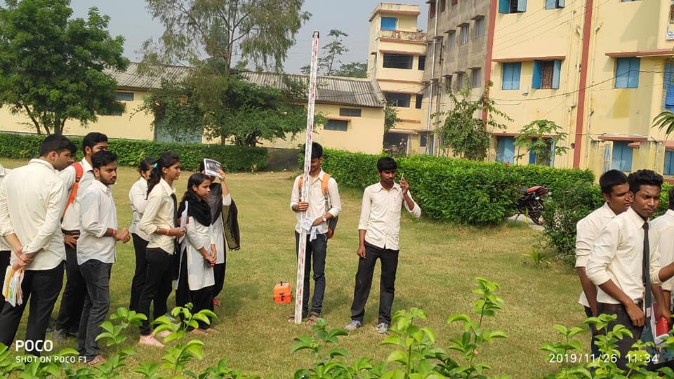
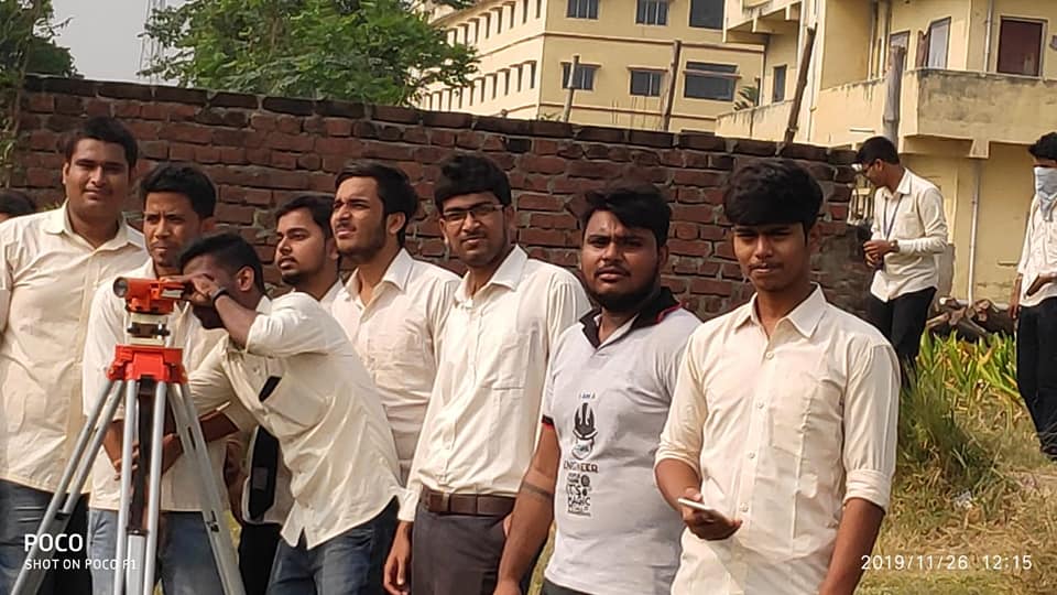
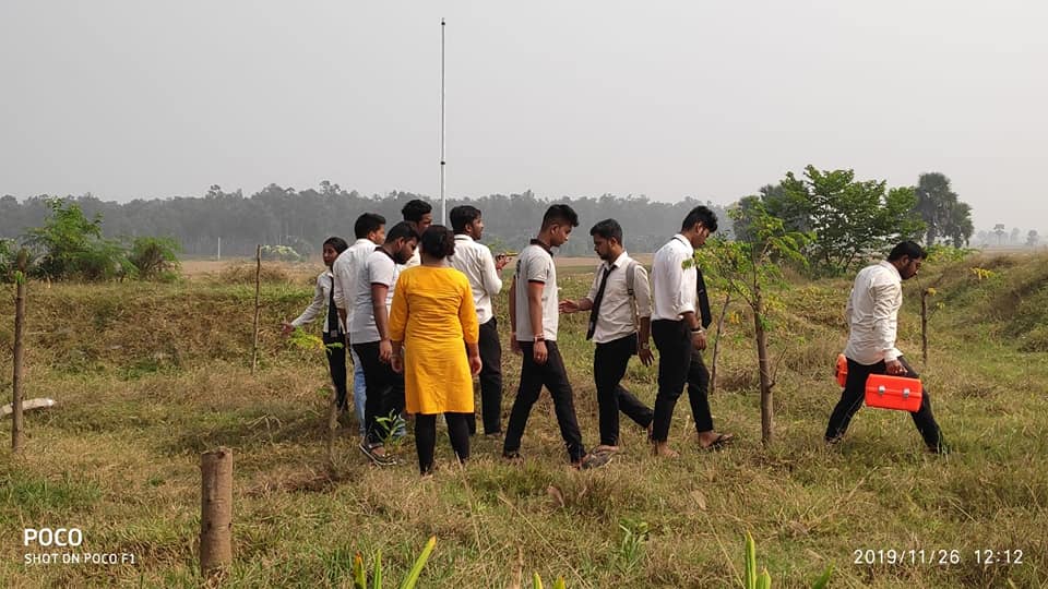
Department of Survey Engineering Department
Write us at: surveydeptsip@gmail.com Call us at: +91-9593441141
Vision:
To provide the students with knowledge, skills, values and sensitivity to face the challenges in life both in academic field as well as in their personal life. To develop the human potentials to achieve different opportunities in future. To enhance the new teaching learning process for students, faculties and staffs.
Mission:
Surveying is known to be the oldest profession within civil engineering, where surveyors determine the position of natural and man-made objects on the earth’s surface, and record it for future planning purposes. Survey engineers are playing an important role in the economic framework for development of their societies and they were well respected everywhere. Many of our early leaders and explorers were famous surveyors such as James Cook, George Washington, Thomas Jefferson, and Abraham Lincoln.
Surveying is the general term, which covers a multi-disciplines, such as Geodesy, Photogrammetry, Cartography, GIS, Digital Mapping, Cadastral Surveying, etc.
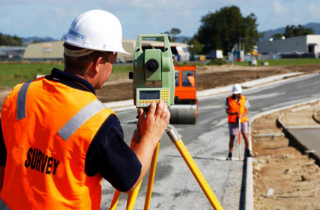
Surveying Engineers or Surveyors collect, analyze, and manage the global spatial infrastructure. They design, develop, and operate systems for collecting and analyzing spatial information about the land, the oceans, natural resources, and man-made features. They use sophisticated equipment such as Global Positioning Systems (GPS), electronic theodolites, levels, aerial photographs, satellite imagery for gathering, analyzing, and using information about the earth. Modern Surveying topics include digital mapping, geodesy, photogrammetry, remote sensing, as well as more traditional surveying such as property surveys. However, gathering information with a spatial position and finally decision making is a tough job in respect of personal and a business perspective as well as different levels of government. There are different difficulties during surveying due to dishonest data, unanswered questions, differences in understanding and interpretation, hard to convey feelings and emotions, some questions are difficult to analyze, respondents may have a hidden agenda, lack of interaction, unethical responses.
In Santiniketan Institute of Polytechnic College, our Survey Engineering department has full time, qualified faculties to enrich the student’s knowledge. It is fully equipped with latest instruments and machines to provide hands-on experience to the students. Good placement opportunities are available for diploma holders in the field of Survey Engineering, both in Government and Private Sectors. They can be absorbed as survey engineers involved in different form of work such as supervision, draftsman (with computer knowledge), surveyors, and personnel in-charge of quality control, estimation work and office procedures. There is huge demand for survey engineers in India and it is also expected to get a boost as the country gets ready to upgrade its infrastructure with growing economy with time. After completion of this course, students can seek employment in consultancy firms, road projects, building work, etc. The career opens a lot of opportunities in numerous government departments as well as private sectors.
Objectives of Programme Education:
To determine the relative position of any objects or points of the earth. To determine the distance and angle between different objects. To prepare a map or plan to represent an area on a horizontal plan. To develop methods through the knowledge of modern science and the technology and use them in the field.
Courses Outcomes:
An ability to develop and conduct appropriate experimentation, analyze and interpret data, and use engineering judgment to draw conclusions. An ability to acquire and apply new knowledge as needed, using appropriate learning strategies.
FUTURE SCOPE
Survey engineering has quite a beautiful scope in India. There is huge demand for fresher diploma Survey engineers in industry. The career after a Diploma in Survey Engineering is very diverse and flexible. Some of the popular roles that the students start with as a Cartographers and Photogrammetrists, Civil Engineering Technicians, Construction and Building Inspectors, Drafters, Geographers, Hydrologists, Landscape Architects, Surveying and Mapping Technicians, Urban and Regional Planners and so on.
Government jobs
In India, diploma holders are more driven towards government jobs due to job security, good salary, etc. There are multiple government departments, where Survey engineering job seekers can find jobs.
- Municipal corporations.
- National Highway Authority of India (NHAI)
- Indian Railways
- Steel Authority of India
- Central Public Work Departments (CPWD)
- Irrigation and PWD Department
- Government Mega Construction Projects
- Government Housing Schemes
- Survey of India.
Private Sector
In the private sector, Survey Engineers can choose between field jobs as well as back-office jobs. They could effectively handle client and also efficient in design-related job. Besides, they can contribute construction site.
- Simplex Industries Limited.
- Reliance Infrastructure
- L&T
- TATA Projects
- Hindustan Construction Company
- Gammon India
Practical Area
Survey Engineering Lab/Field Practices:
- Measurement of distance by Ranging and Chaining.
- Locating various objects by Chain & Cross Staff Surveying.
- Determination of area of polygon by chain and Cross Staff
- Measurement of Bearings of sides of Traverse with Prismatic Compass and Computation of correct included angle.
- Locating given building by Chain and Compass Traversing, (One full size drawing sheet)
- Determination of Elevation of various points with Dumpy Level by Collimation Plane Method and Rise & Fall method.
- Fixing Bench Mark with respect to temporary bench mark with Dumpy Level by Fly leveling and Check Levelling.
- L-Section and cross section of road.
(One full size drawing sheet for L-Section and Cross Section)
- Measurement of horizontal angles Theodolite by method of Repetition.
- Measurement of vertical angles with Theodolite.
- Determination of horizontal distance between two inaccessible points with Theodolite.
- Locating given building by Theodolite Traversing.
- Locating given building by Plain Table Traversing.
- Three Point Problem in Plane Table Traversing.
- Determination of elevation of point by Trigonometric Levelling.
- Contour plan of given area.
- Study of Planimeter.
- Determination of area of irregular figure by using planimeter
- Study of Box Sextant, Abney Level, Optical Theodolite.
- To give layout of given plan of building.
Concrete Technology Lab
- Compaction factor test
- Tensile strength test
- Slump test
- Compressive strength test or Cube test
- Fineness of cement
- Standard consistency test of cement
- Initial setting time of cement
- Final setting time of cement
- Soundness of cement
- Specific gravity test of cement
- Compressive strength test
- Demonstration of NDT equipment
- Mix design of concrete
Transportation Engineering Lab
- Flakiness and Elongation Index of aggregates.
- Aggregate impact value test
- Los Angeles Abrasion test
- Aggregate crushing value test
- Softening point test of bitumen.
- Penetration test of bitumen.
- Flash and Fire Point test of bitumen.
- Ductility test of Bitumen.
CAD-CAM LAB
- Introduction to CAD
- ACAD – BASICS
- Starting with ACAD
- Layout and sketching
- Drawing environment
- Elements of drawing
- Draw commands
- 3D functions
- Starting the drawing
- Drawing sheet layout -1
- Drawing sheet layout – 2
- 2d – Figures Using aCAD
- Isometric Drawings Using a CAD
- Computer Aided Manufacturing.